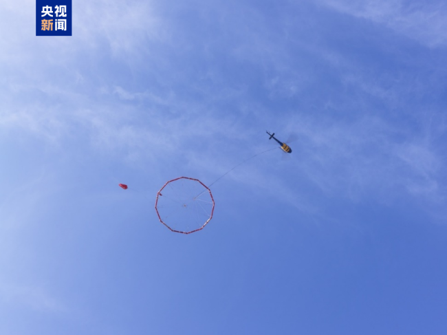
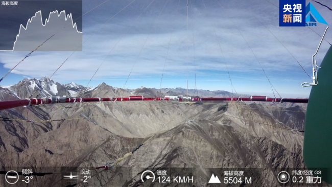
Recently, my country's first helicopter aerial geodesic electromagnetic detection system developed by the Institute of Aerospace Information Innovation of the Chinese Academy of Sciences successfully completed the geological exploration task of 5,000 meters high-altitude and complex terrain and landform areas, providing important support for the design and construction of major national railway construction projects.

Aviation Earth electromagnetic detection system has completely independent intellectual property rights, and has overcome a number of core key technologies such as high-sensitivity magnetic field sensors, large dynamic signal reception, aviation pod stability platform, and can obtain the distribution of underground faults, cracks, groundwater and mineral resources, and accurately identify the risk areas with potential geological safety hazards.
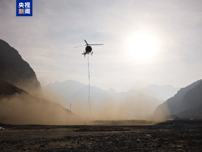
In the exploration task that lasted nearly two months, the research team successfully completed more than 30 aircraft and a total of more than 5,000 kilometers under the field exploration operation conditions of high-altitude and high-altitude and harsh environment. The maximum detection depth is greater than 3,000 meters, providing important data support for the design and construction of major national engineering construction.
(CCTV reporter Shuai Junquan Chu Erjia)